Key features in Bing Maps
The following is a list of some of the key features in Bing Maps along with links to documentation and interactive code samples.
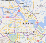
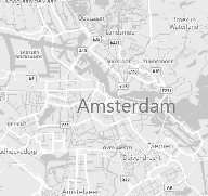
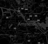
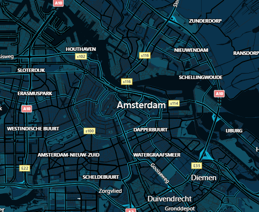
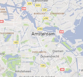
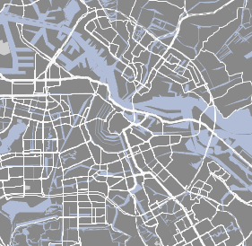
Additional Road Map styles
In addition to the standard road map style there are:
| Road | Aerial | Bird's eye | Grayscale | Canvas Dark | Canvas Light |
|---|---|---|---|---|---|
 |
 |
 |
 |
 |
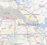 |
To see an interactive code sample in both JavaScript and TypeScript that demonstrates how to set your map type to Grayscale, see the Grayscale Map Type sample in the Bing Maps Dev Center.
For more information, see the MapTypeId Enumeration documentation.
Autosuggest
Provides suggestions as you type a location in a search box.
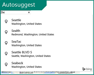
To see an interactive code sample in both JavaScript and TypeScript that demonstrates how to add the default autosuggest functionality to a textbox, see the Autosuggest UI sample in the Bing Maps Dev Center.
For more information, see the Autosuggest Module documentation.
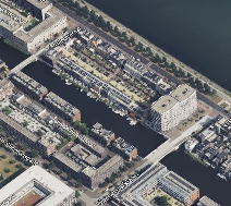
Birdseye Imagery
This provides high resolution aerial imagery taken at 45 degrees to the ground from 4 different directions.
| North | East | South | West |
|---|---|---|---|
 |
 |
 |
 |
To see an interactive code sample in both JavaScript and TypeScript that demonstrates how to show bird's eye view, see the Birdseye sample in the Bing Maps Dev Center.
Data Binning
This powerful data visualization combines the power of clustering with the richness of heat maps.
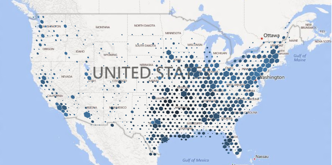
To see an interactive code sample in both JavaScript and TypeScript that demonstrates how to render data bins with a gradient color that scales with pushpin density, see the Binning with gradient color scale sample in the Bing Maps Dev Center.
For more information, see the Data Binning Module documentation.
Clustering
Visualize large sets of pushpins, by having overlapping pushpins group together as clusters and break apart as you zoom in automatically.
To see an interactive code sample in both JavaScript and TypeScript that demonstrates how to use the Clustering module, see the Add clustering layer to map sample in the Bing Maps Dev Center.
For more information, see the Clustering Module documentation.
Enhanced Localization
Bing Maps has excellent localization support for 79 languages.
For more information, see the Setting Map Control Parameters documentation.
Drawing tools
Want to draw a pushpin, polygon, or some other shape on the map? The drawing tools module lets you do this easily. This can be used in many different types of scenarios such as providing the user the ability to draw a search area or providing tools for managing sales territories.
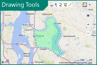
To see an interactive code sample in both JavaScript and TypeScript that demonstrates how to show drawing manager, see the Show drawing manager sample in the Bing Maps Dev Center.
For more information, see the Drawing Tools Module documentation.
Custom Map Styles
Customize the look and feel of the road maps inside of your application. Change the colors of the roads and land, hide certain types of labels. Create a style that aligns with your applications UI, company branding or change it just for fun.
| Blue tone | Pink tone | Light brown tone | Brown tone |
|---|---|---|---|
 |
 |
 |
 |
To see an interactive code sample in both JavaScript and TypeScript that demonstrates Custom Styles & ARGB color, see the Custom Styles & ARGB color sample in the Bing Maps Dev Center.
For more information, see the Custom Map Styles in Bing Maps documentation.
GeoJSON Support
GeoJSON is one of the most common file formats used for sharing and storing spatial data. With Bing Maps you can easily import and export GeoJSON data.
To see an interactive code sample in both JavaScript and TypeScript that demonstrates how to read from a GeoJSON string and render it as a polygon on the map, see the Read GeoJSON object sample in the Bing Maps Dev Center.
For more information, see the GeoJSON Module documentation.
KML, KMZ, GeoRSS, GML, and GPX support
The GeoXml module makes it easy to read and write common geospatial XML file formats such as:
- KML (Keyhole Markup Language) and KMZ (compressed KML)
- GeoRSS
- GML (Geography Markup Language, exposed via GeoRSS
- GPX (GPS Exchange Format).
To see an interactive code sample in both JavaScript and TypeScript that demonstrates how to read from a URL which points to a GPX file and show the shapes on the map, see the GeoXml Read From a URL sample in the Bing Maps Dev Center.
For more information, see the GeoXml Module documentation.
Heat Maps
Visualize the density of data points as a heatmap.
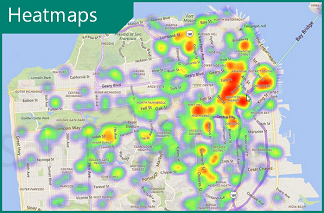
To see an interactive code sample in both JavaScript and TypeScript that demonstrates how to generate a heat map layer with 500 random locations and 500 weighted locations that are within the initial view of a loaded map, see the Add default heatmap sample in the Bing Maps Dev Center.
For more information, see the Heat Map Module documentation.
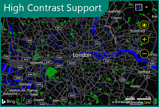
High Contrast support
Bing Maps automatically detects when the user's device is in high contrast module and renders the road maps accordingly to provide easy accessibility.
For more information, see the MapTypeId Enumeration documentation.
Point Compression
Some of the Bing Maps services compress arrays of locations using a compression algorithm. These tools make it easy to encode and decode this data when using these services. Additionally, this algorithm can also be used with your own data if sending it between a client app and a server.
Original Values
points=35.894309002906084,-110.72522000409663,35.893930979073048,-110.72577999904752,35.893744984641671,-110.72606003843248,35.893366960808635,-110.72661500424147
Equivalent Compressed Value
points=vx1vilihnM6hR7mEl2Q
To see an interactive code sample in both JavaScript and TypeScript that demonstrates how to decoded an encoded string into an array of Locations then display it on a map as a Polyline, see the Decode a compressed string sample in the Bing Maps Dev Center.
For more information, see the Point Compression Algorithm documentation.
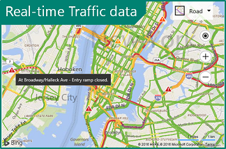
Real-time Traffic data
View real-time traffic flow and incidents on the map.
To see an interactive code sample in both JavaScript and TypeScript that demonstrates how to create a traffic maps with color coded roads that indicate the flow of traffic and possibly triangle icons indicating traffic incidents on the road, see the Add/Show traffic layer sample in the Bing Maps Dev Center.
For more information, see the Traffic Module documentation.
Spatial Data Services
The Bing Spatial Data Services (SDS) provides two key features; the ability to upload, host and expose location data as a spatial REST service, and the ability to retrieve administrative boundaries data such as zip codes, cities, states and more from Bing Maps. The Bing Maps SDK exposes a set of useful tools for accessing this data and integrating it with the map seamlessly.
To see an interactive code sample in both JavaScript and TypeScript that demonstrates how to use the Spatial Data Services, see the Area and distance conversions sample in the Bing Maps Dev Center.
For more information, see the Spatial Data Service Module documentation.
Spatial Math
When analyzing business data on a map it is often useful to be able to perform a spatial formula or two. One of the most common being the ability to calculate the distance (as the crow flies) between two locations.
To see an interactive code sample in both JavaScript and TypeScript that demonstrates how to convert kilometers to miles, and acres to square kilometers using the SpatialMath module, see the Area and distance conversions sample in the Bing Maps Dev Center.
For more information, see the Spatial Math Module documentation.
Test Data Generator
When developing your app, you may find that you need some data to test parts of your application. Bing Maps includes a test data generator that can create random locations, pushpin, polylines, polygons and colors.
To see an interactive code sample in both JavaScript and TypeScript that
demonstrates the automatic creation of pushpins using Microsoft.Maps.TestDataGenerator,
see the Create pushpins
sample in the Bing Maps Dev Center.
For more information, see the TestDataGenerator Class article.
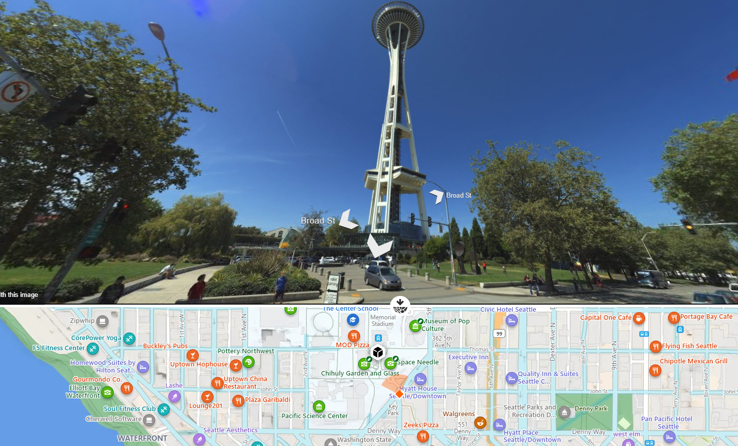
Streetside imagery
Explore 360-degrees of street level imagery.
To see an interactive code sample in both JavaScript and TypeScript that shows how to load the streetside mode by specifying map bounds, see the Load using bounds sample in the Bing Maps Dev Center.
TypeScript Definitions
TypeScript is a superset of JavaScript and provides static typing, classes, and interfaces. It trans compiles into JavaScript which your application uses. These provide intellisense and richer error catching functionality to your development environment. If you haven't used TypeScript before we highly recommend you give it a try as it fills a lot of gaps that you wished JavaScript supported and makes development easier. In fact, we wrote the Bing Maps web control using TypeScript.
For additional information and to download the NuGet package, see Bing Maps V8 TypeScript Definitions in GitHub.
Vector Map Labels
The map labels in the Bing Maps SDK are separate from the base map and sit above the data on the map. This ensures that the labels can be clearly visible no matter what data is added to the map. When pushpins overlap labels, the labels can detect this and move out of the way. If it is a road label it will move along the road. If it is a city name it may move up a bit. If there are a lot of pushpins in an area the label may be hidden entirely.
For more information, see the Vector Map Labels article.
Well Known Text support
This is a standard way of representing spatial objects as a string and use supported by all Open Geospatial Consortium (OGC) systems and databases. Easily import and export spatial data with a spatial database and Bing Maps. A list of features comparing Bing Maps with other controls and services in the Bing Maps platform, see Explore the Bing Maps API Platform.
To see an interactive code sample in both JavaScript and TypeScript that shows how to parse a Well Known Text string value into a Bing Maps shape and display it on the map, see the Add Point as Pushpin sample in the Bing Maps Dev Center.
For more information, see the Well Known Text Module article.
Map API Nomenclature
Bing Maps and Google Maps have a lot of common features and functionalities, however there are some differences in naming conventions. To start off with the Google Maps V3 API uses a google.maps namespace, while Bing Maps uses a Microsoft.Maps namespace. Here are the naming differences for some of the most used classes in these APIs:
| Google Maps V3 | Bing Maps V8 | Description |
|---|---|---|
| InfoWindow | Infobox | A simple class for displaying information to a user as a dialog on the map. |
| LatLng | Location | An object that represents a geographical coordinate. To access the coordinates values, in Google Maps the lat() and lng() functions are used. In Bing Maps, use the latitude and longitude properties. |
| LatLngBounds | LocationRect | An object that represents a geographical bounding rectangle. |
| Marker | Pushpin | A class used to represent a single data point on the map. |
For more information, see Google Maps to Bing Maps Class Mapping